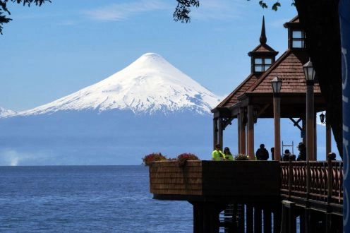
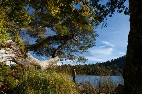
Vicente Perez Rosales National Park. Puerto Varas - CHILE
Direccion:
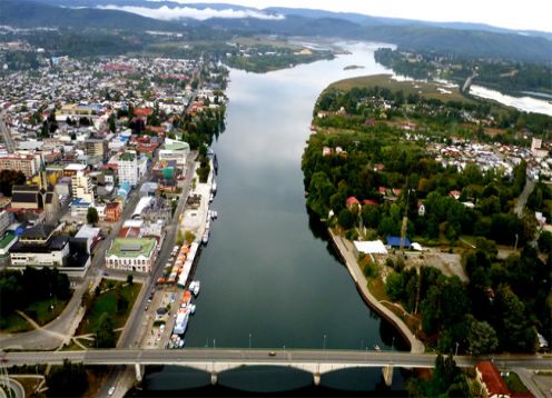
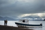
Petrohue, Puerto Varas It is almost entirely in the province of Llanquihue, municipality of Puerto Varas, except for a small area that corresponds to the province of Osorno, commune of Osorno, It has an area of ??231,000 hectares.
Access roads:
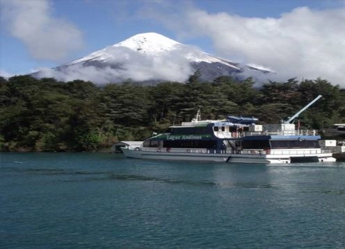
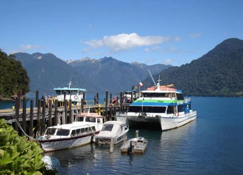
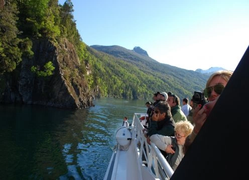
The Park is accessed by International Route 225 from Puerto Varas to Ensenada and Petrohue, with a distance of 64 km. until this last point, the road has 58 km. of asphalt and 6 of gravel in good condition. After crossing the Todos Los Santos Lake (20 nautical miles) to Peulla, a gravel road of 25 km continues. to the border with Argentina.
Administration of the area:
The Administrative Headquarters of the Park is located in Petrohue, where the first section of the International Route 225 ends, which continues from Peulla at the eastern end of Lake Todos Los Santos. In the area is also located the Park Ranger Office of the Petrohue sector
Ranger Office:
In Peulla there is a permanent nursery linked to the place. In the Ensenada sector, a nursery is located on the shore of Lake Llanquihue, next to the town.
There are also two booths located at the entrance to the Petrohuu River and the Osorno Volcano. La Burbuja Ski Center. There are also 2 control booths located in a sector of Ensenada and in the sector of La Picada, 11 km. of the crossroads in Puerto Klocker.
Recreational trails:
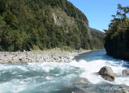
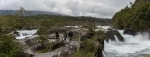
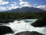
Path Saltos del rio Petrohue:
It has an extension of 370 m. and it is covered in approximately 10 minutes.
Sendero Los Enamorados:
It is located in the Saltos del Rio Petrohue sector. It has a length of 600 m. of round trip and it is covered in 30 minutes.
Laguna Verde Trail:
It has 180 meters and it is covered in 20 minutes.
Veil Path of the Bride:
It is located in the Peulla sector, it has 400 m. and it is covered in 25 minutes.
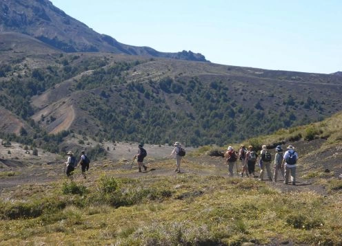
Hiking trails:
Path Desolation Path:
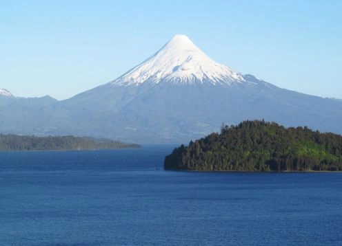
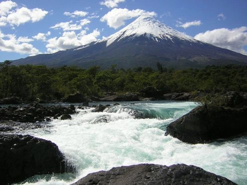
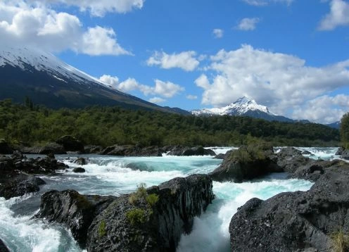
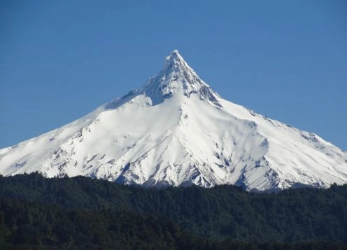
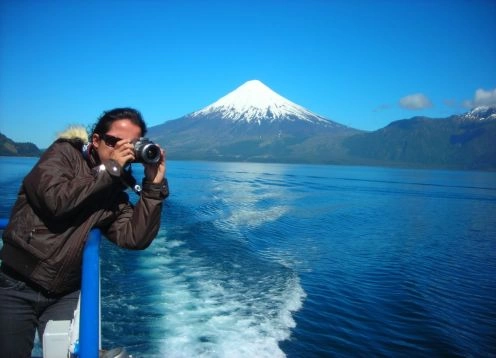
It is located in the eastern slopes of the Osorno volcano, has a length of 12 km. and it is covered in 5 or 6 hours (round trip). The trail reaches an approximate altitude of 1,100 msn m. and allows to appreciate panoramic views of Tronador volcano and Todos Los Santos Lake.
Rincon del Osorno Trail:
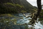
It is located on the west bank of Lake Todos Los Santos, has an area of ??5 km. , it is traveled in 4 hours round trip. The trail starts at Petrohuu and borders the lake.
Path The Solitaire:
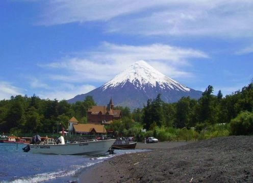
It is located 6 km. from Ensenada on the road to the Osorno volcano. It has a length of 6 km. , and it is covered in two hours (one way), reaching up to 1 km. of the Petrohue River Falls.
Margarita Lagoon Trail:
It is located in the sector of Peulla and has an approximate area of ??8 km. , traveling back and forth in 8 hours. The path is a difficult path that reaches the Margarita lagoon, surrounded by beautiful lenga forests.
Carilemu Path:
It is located in the area of ??Los Saltos del Petrohue, it has a length of 980 m. and it is covered in approximately 45 minutes.
Los Pilleyos Trail:
It is located in the sector of Ensenada, has an area of ??1,200 m. and it is covered in 45 minutes.

 69 Reviews