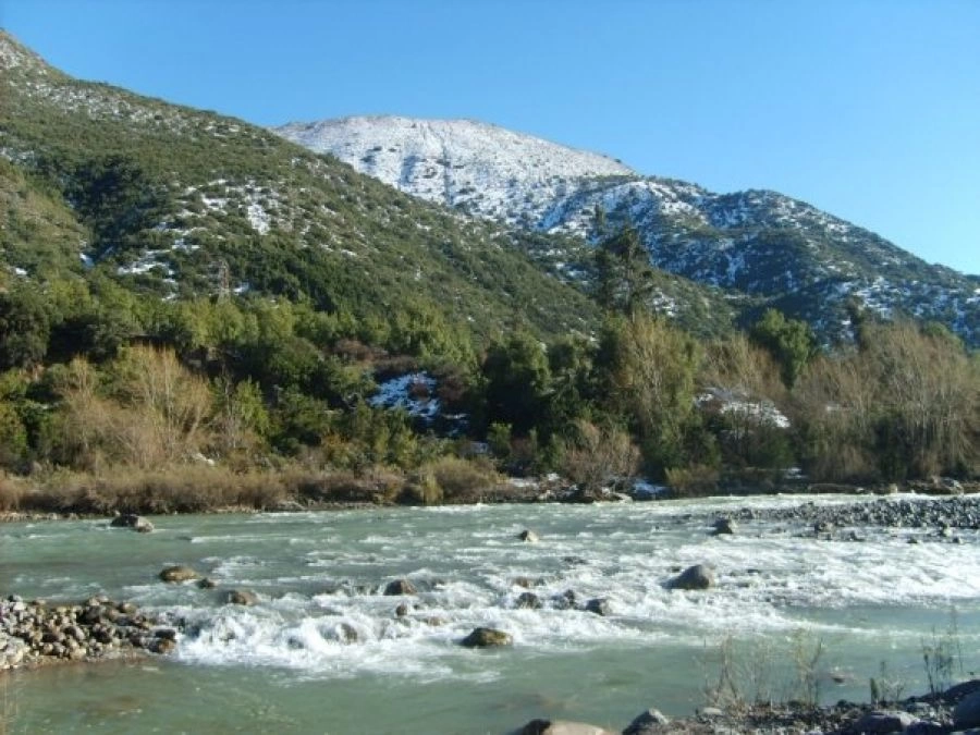
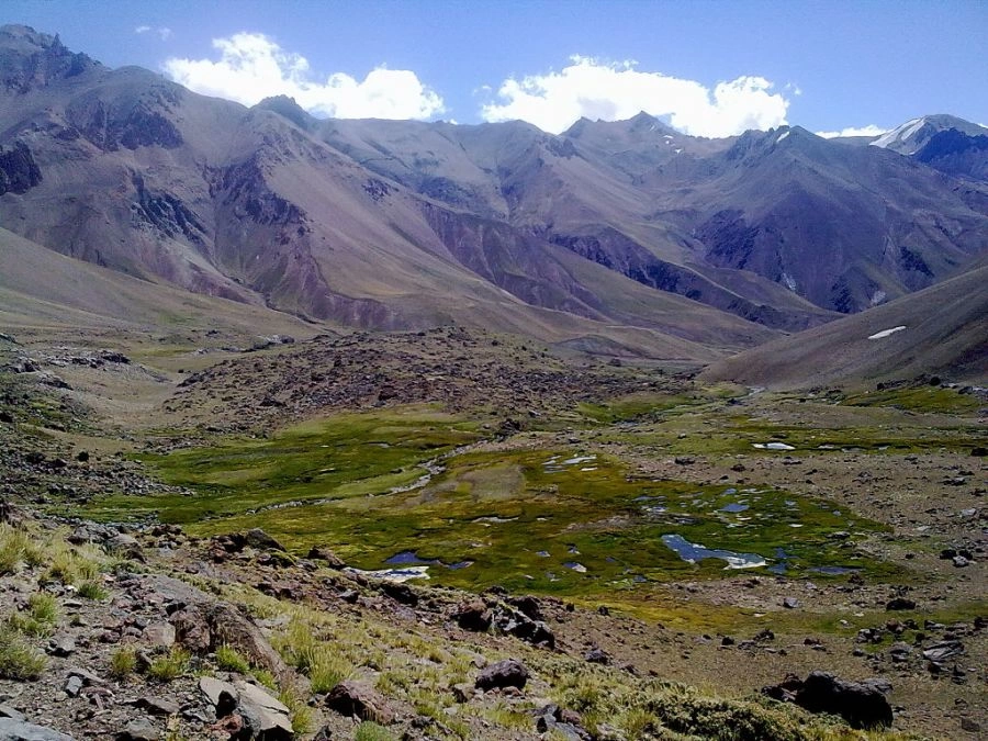
The Maipo river basin is located in the central zone of Chile, between 32 55 - 34 15 of South latitude and 69 46 - 71 43 of West longitude, being practically coincident in its limits with the Metropolitan region of Santiago. It was born on the slopes of the Maipo volcano at 5,523 m.s. and it covers a length of 250 kilometers until it empties into the Pacific Ocean, covering a surface slightly higher than 15,000 km2.
The Maipo River (mapudungun maipun: work the land, plow) gives rise to the main hydrographic basin of the Metropolitan Region of Santiago (in Chile).
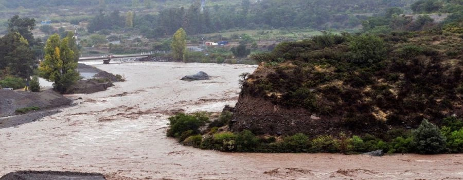
Its waters come from both winter precipitation and mountain snowmelt. The river basin drains about 15,380 km 2 and its average flow is 92.3 m / s.
 Portugues
 English