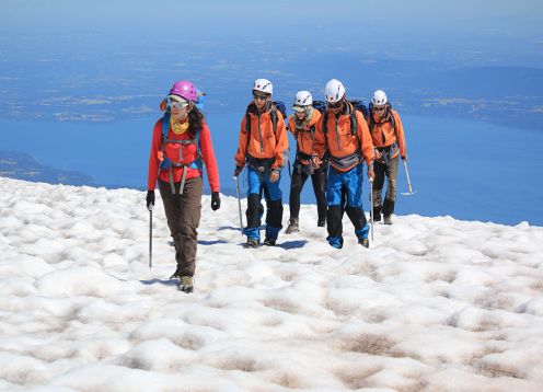
CONGUILLIO NATIONAL PARK TREKKING
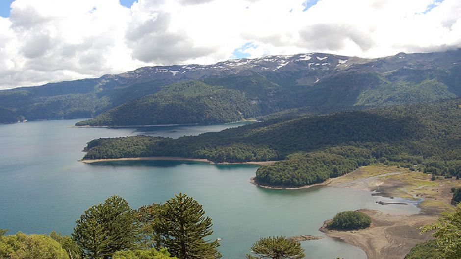
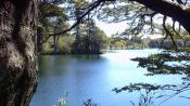
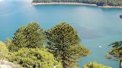
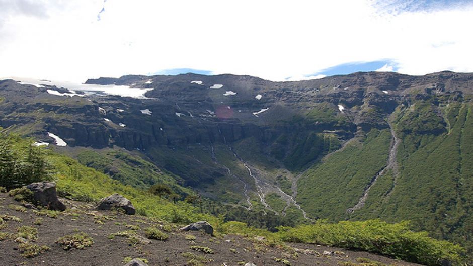
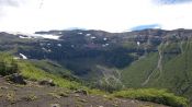
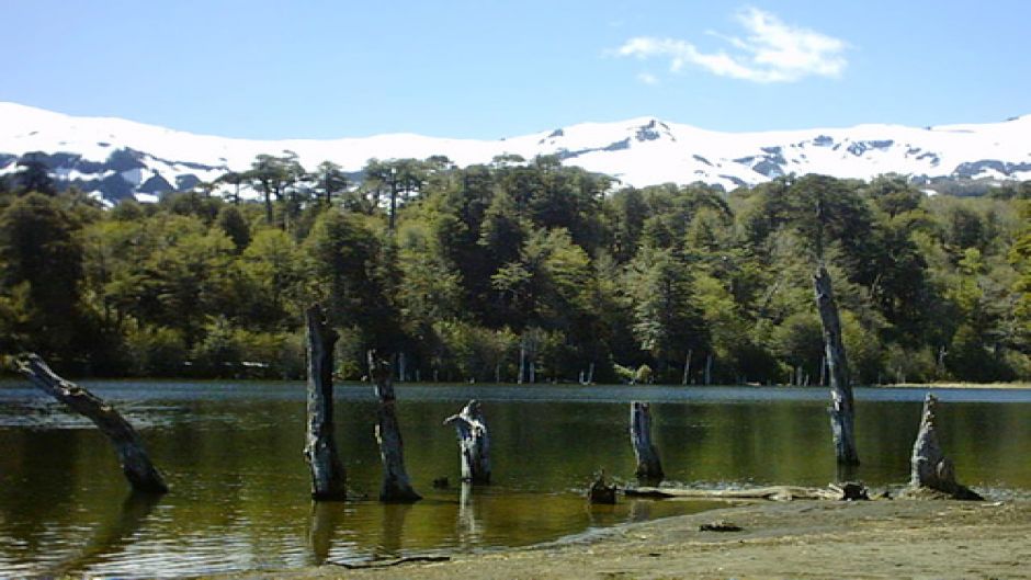
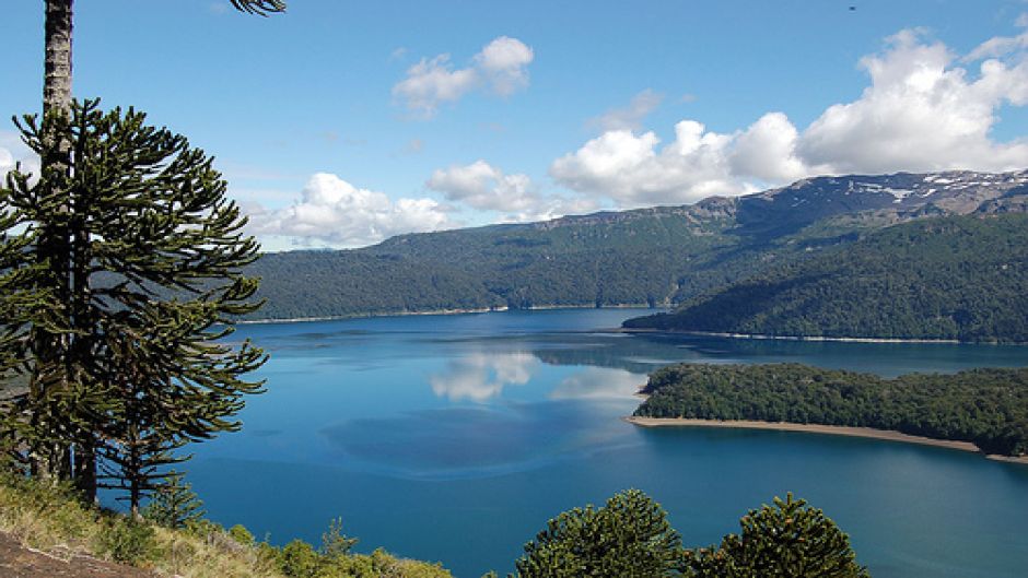
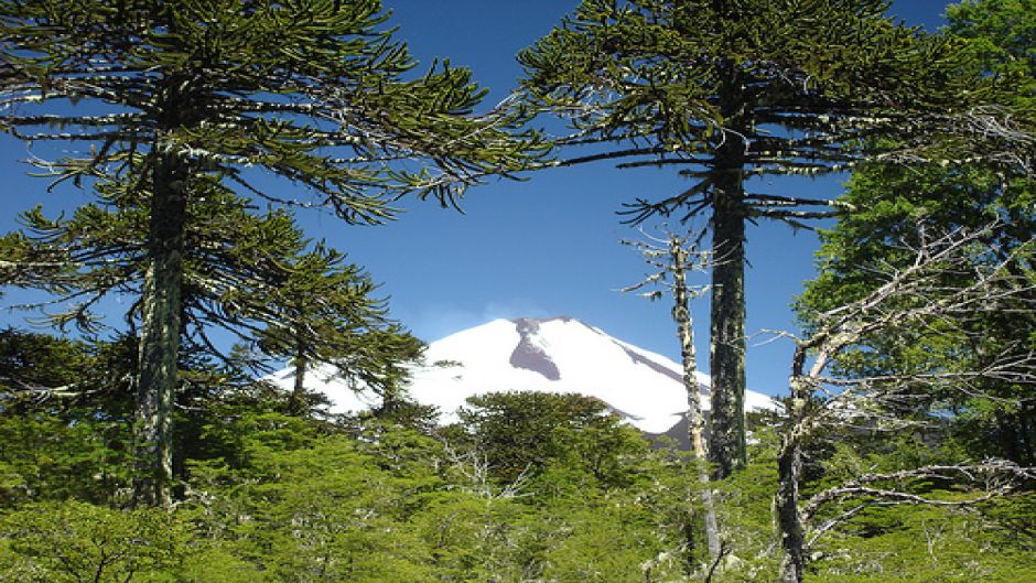
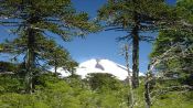
Has 60,832 hectares in Region IX, altitudes of 900-3125 m was created in 1950. Inside is the Sierra Nevada and Llaima volcano, including the two main valleys are generated; The Captrén river to Curacautín, and the Quetralelfú river to Melipeuco. Within these valleys were formed by lava plugs eruptions of the Llaima, Lake Conguillío and Captrén, Arco Iris and Verde lagoons. The newly formed lakes are among 100 and 600 years of data- as evidenced by the forests that were flooded by rising water levels.
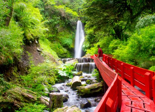
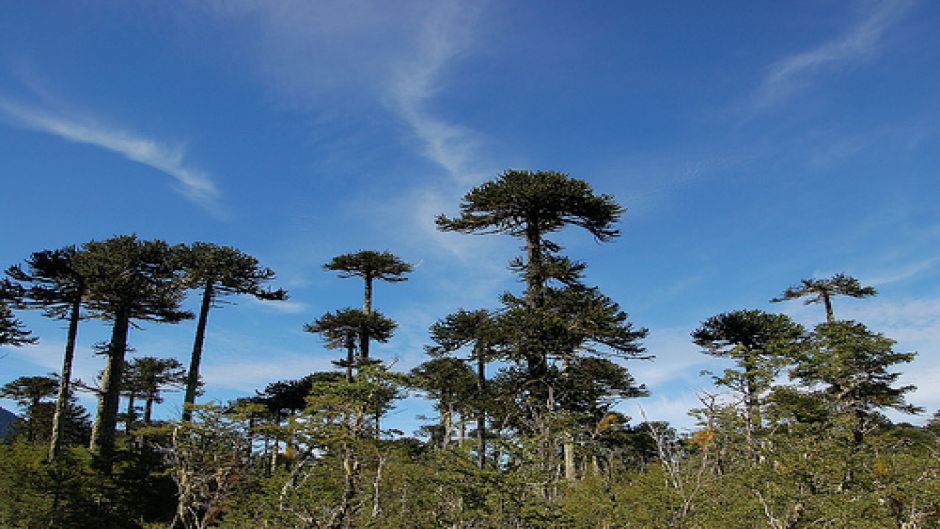
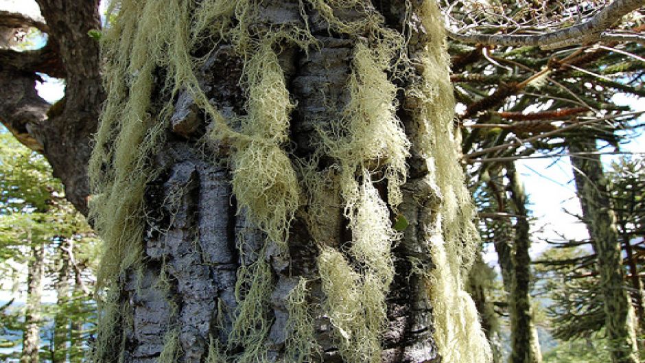
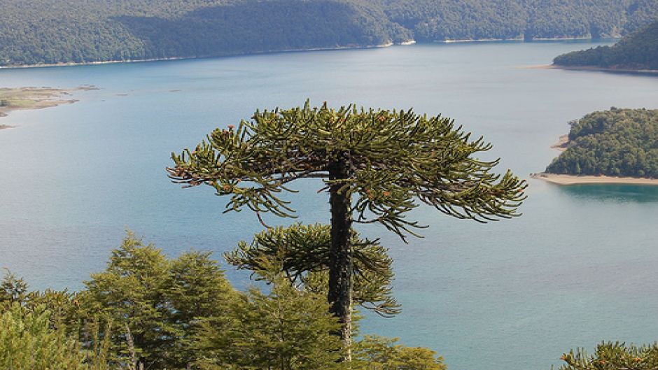
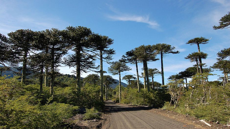
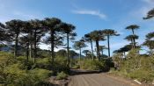
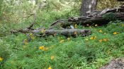
The landscape is virtually untouched, with Araucaria forests of 600-1200 year-old oaks, raulíes, coigües and cypress distributed among waterfalls, slag and lava eruptions of the past.
After entering a slag covering the valley, flanked on the right by the volcano and the left, where the pine forest begins abound.
At Km. 34 is the internal path in the woods, where the control booth that provides general information about the National Park is. In the vicinity is the Captrén (15-hectare) lake. It has a campground, on the south shore, and hiking trails. The path continues through the Lake Conguillío (750 hectares), which is reached at Km. 40, which is also the Administration and the Environmental Information Center, an exhibition describing the flora and geology of the park. On this site there are cabins and camping with cafeteria, supplies and boats to rent. The ranger guide and guided tours of different paths, scheduled for adults and children.
Departure days: All Year, Previous reservation
Start Time:
09:00
End Time: 16:00
Duration: Full Day
Cancellations and refunds:
You have up to 2 business days to cancel your reservation