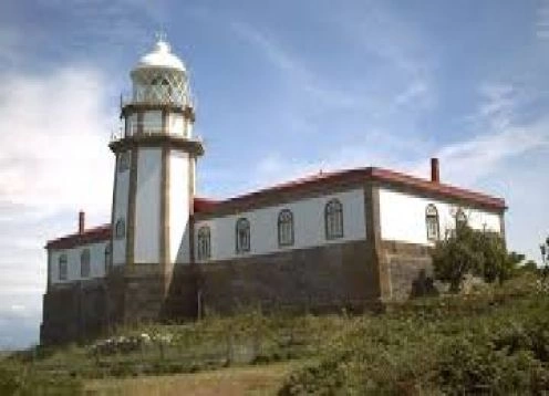
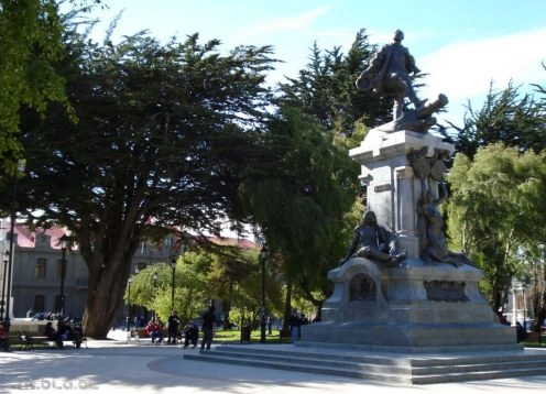
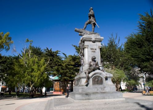
Cabo de Hornos National Park. Punta Arenas - CHILE
Direccion:
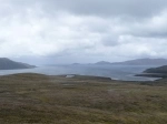
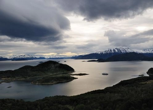
Region de Magallanes y de la Antartica Chilena Created in 1945, is located at coordinates 55 ° 39 and 56 ° 00 south latitude - 67 ° 00 and 67 ° 52 west longitude, which comprises the group of islands Wollaston and Hermite Islands group, at the southern tip of the Americas.
Administratively it is located in the town of Navarino, Antártica Chilena Province.
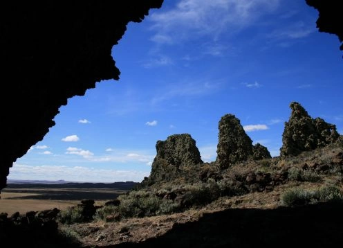
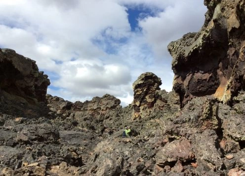
With an altitude that does not exceed 220 mts. Except the Pyramid hill located in Cape Horn (406 mts.), The Cape Horn National Park has an area of 63,093 hectares.
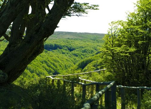
Regarding the vegetation, this is characterized by low heavy type with a predominance of peat bogs, plus the wood is made of the presence of coigüe and cinnamon, with small areas where it is and Ñirre Dura Wood.
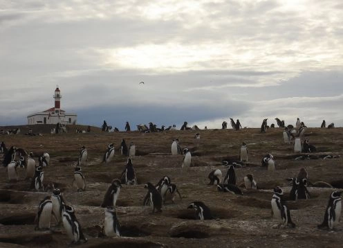
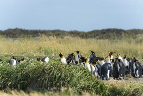
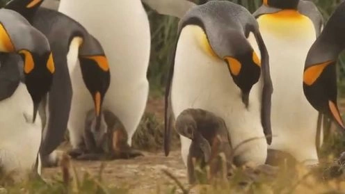
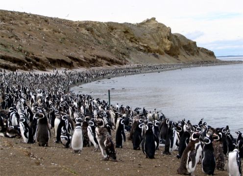
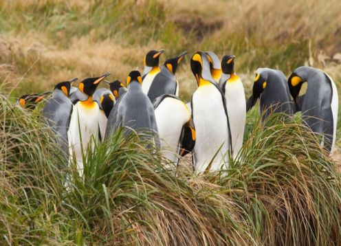
Moreover, the Park is home to a large number of marine mammals and seabirds.
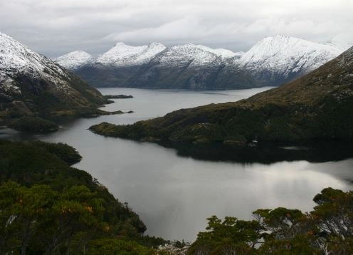
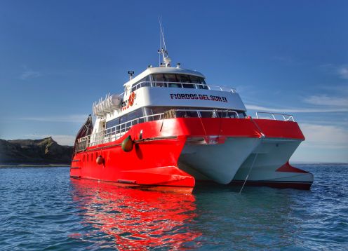
Among the Beagle Channel and Cape Horn are a number of islands and archipelagos, fjords and channels that make up the corners of the Chilean territory.
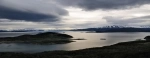
The Beagle Channel was named after the ship on which the renowned scientist Charles Darwin, turned the world that passed through the Strait of Magellan hundred fifty years ago. Meanwhile, the Cape Horn is listed as the last stronghold of the continent with islands protected under the Cape Horn National Park.
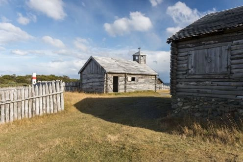
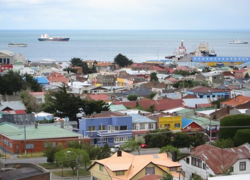
In this area there is the Isla Navarino, the industry s largest, where he settled Puerto Williams, the capital and largest city in the Chilean Antarctic Province. Here you can practice trekking, visit the Museum in Puerto Williams, and recruiting tours that travel to Antarctica.
Finally, we find the Cordillera Darwin, last draft of the Andes, which is broken at this stage of the continent. Running east to west along the north shore of the Beagle Channel. Its summits exhibit ancient forms of ice falling into the fjord, forming stations for boats that are forced to stop at the great walls of ice.